 NakshaPro
Find the plot
Choose district, tehsil and village, enter the khasra number and read the record of rights, area and owners.
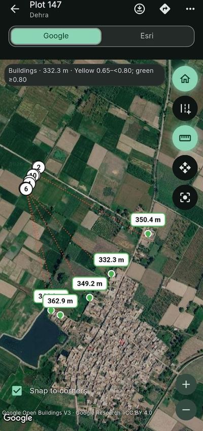
See where it sits
The boundary is traced on satellite imagery, with distances to nearby roads and buildings.
Keep working offline
Download a district once and carry its roads and buildings with you, even where the signal is weak.

